Underground Utilities & Infrastructure
Underground Utilities & Infrastructure

Set Your Project
Up for Success
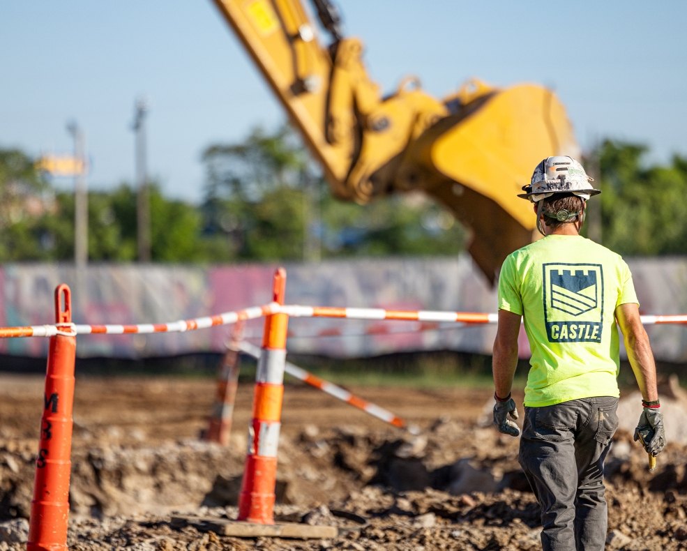
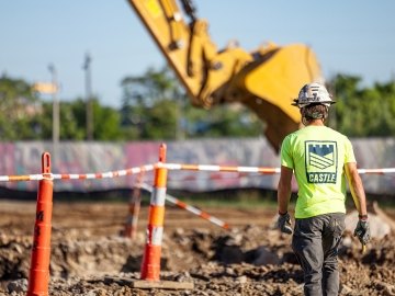
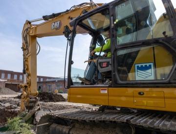
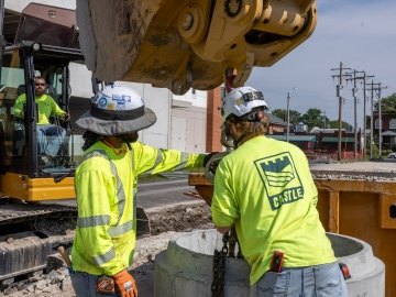
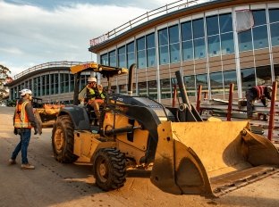
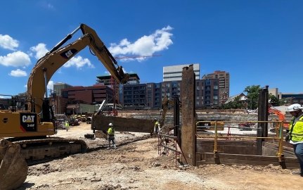
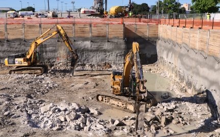
Castle Contracting has installed millions of feet of pipe and completed countless underground construction services for our clients. We support every underground utility and infrastructure project with unmatched resources and expertise. From active campuses and busy roadways to complex sites with tight constraints, our teams thrive in challenging environments and safely deliver precise results.
Underground utilities & infrastructure services:

Innovative MEP Civil Solutions
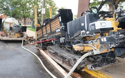
Expert coordination produces efficient and high-quality mechanical, electrical and plumbing (MEP) construction projects. During MEP and other civil construction work, Castle utilizes the latest technology to install and maintain infrastructure. By partnering with a team that delivers optimal outcomes with minimal disruptions, clients and owners on projects of any size can maximize their development’s potential.

COMPREHENSIVE
UNDERGROUND UTILITY SERVICES
Our advanced and reliable underground utility services meet diverse project needs and provide infrastructure longevity.
What Are Underground Utilities?
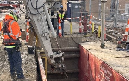
Underground utilities refer to the network of pipes, cables and equipment beneath the ground that provides essential utility services such as water, sewage, electricity and more. Placing important utilities underground lowers the risk of damage to infrastructure and reduces necessary land clearing. Underground infrastructure services may include:
• Directional boring
• Emergency repairs
• Excavation, shoring, trenching, and backfill operations
• General utility contracting
• Potholing
• Utility reroutes and upgrades
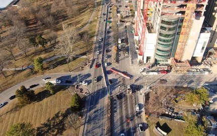
Tackle Underground Utilities Without Disruptions
When shutting down isn’t an option, it’s essential to get the job done right with minimal disruptions. Work with underground utility contractors you can trust to be efficient and accurate. Proper underground infrastructure installation is crucial for the seamless operation of high-functioning businesses, such as corporate campuses, higher-education institutions, and medical facilities.

Choose Castle for Underground MEP Services & More
At Castle Contracting, we understand that every successful project starts below the surface. Our team delivers precise, safety-focused underground utility and infrastructure solutions that keep your project on schedule and compliant from day one.
Learn more about partnering with our underground construction company!
Thank both of you for your: Forward Thinking and Execution, Quality and especially your Dedication and Commitment to Safety. We appreciated working with both of you and your group. Not only were you able to overcome the obstacles that the project presented and get the work completed, but you guys made it enjoyable to work on the project each day and an “enjoyable project” is not something we experience all the time.
Thanks again for all your help and efforts in making this a successful project and I look forward to working with you again in the near future.
Safety Manager, Bayer U.S.